 |
| Shelf cloud near Santa-Teresita, Buenos Aires Photo credit by Esteban Romero Source |
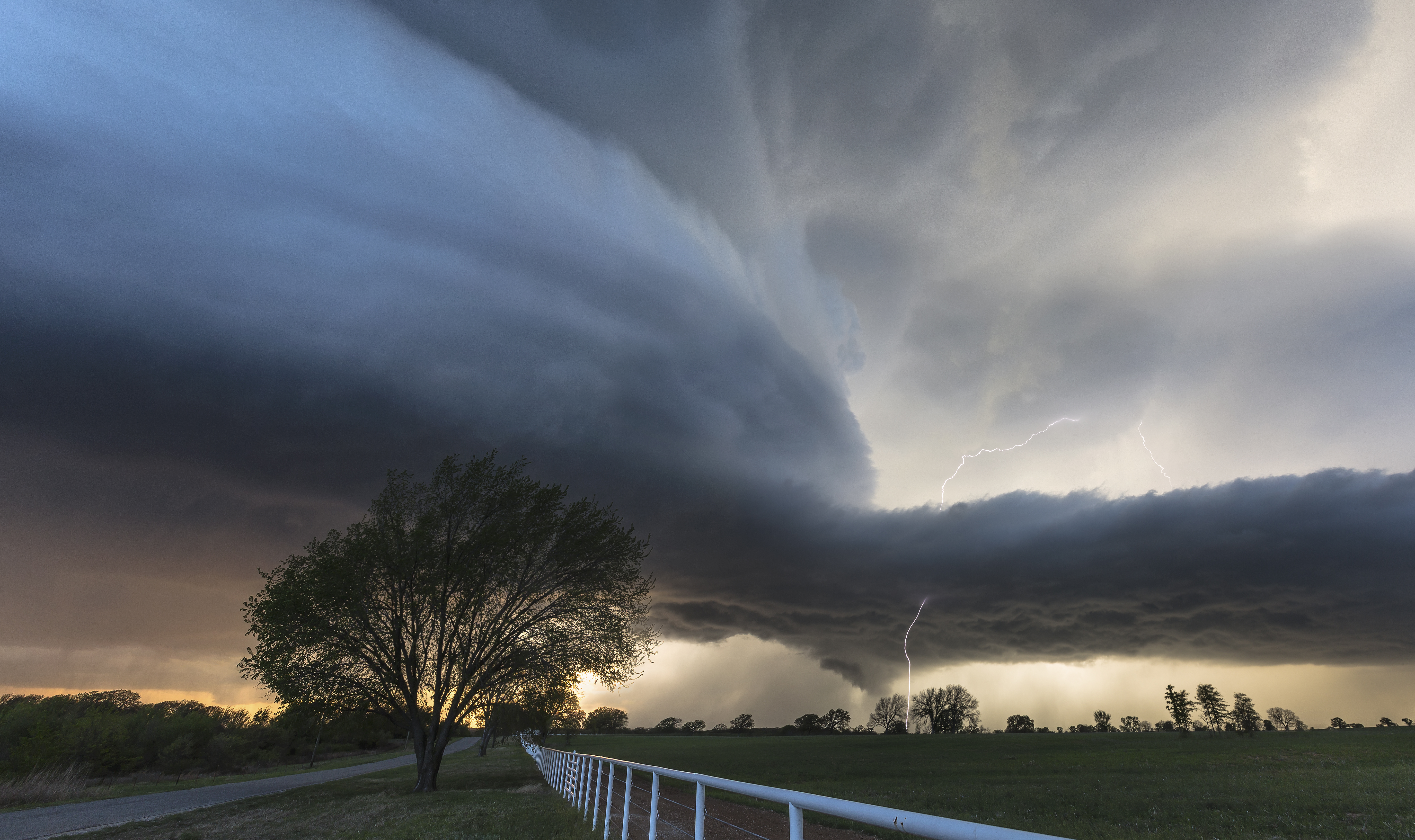
Shelf cloud is a low, horizontal, wedge-shaped arcus cloud. A shelf cloud is attached to the base of the parent cloud, which is usually a thunderstorm, but could form on any type of convective clouds. Rising cloud motion often can be seen in the leading (outer) part of the shelf cloud, while the underside often appears turbulent and wind-torn. Cool, sinking air from a storm cloud's downdraft spreads out across the land surface, with the leading edge called a gust front. This outflow cuts under warm air being drawn into the storm's updraft. As the lower cooler air lifts the warm moist air, its water condenses, creating a cloud which often rolls with the different winds above and below (wind shear).
People seeing a shelf cloud may believe they have seen a wall cloud. This is likely a mistake, since an approaching shelf cloud appears to form a wall made of cloud. A shelf cloud usually appears on the leading edge of a storm, and a wall cloud will usually be at the rear of the storm.
A sharp, strong gust front will cause the lowest part of the leading edge of a shelf cloud to be ragged and lined with rising fractus clouds. In a severe case there will be vortices along the edge, with twisting masses of scud that may reach to the ground or be accompanied by rising dust. A very low shelf cloud accompanied by these signs is the best indicator that a potentially violent wind squall is approaching. An extreme example of this phenomenon looks almost like a tornado and is known as a gustnado.


 |
| Shelf Cloud and lightning Norman, OK |
 |
| Nebraska Shelf Cloud |
 |
| Shelf Cloud over Buenos Aires, Argentina |
No comments:
Post a Comment